

Precision Surveying. Trusted Results.
Welcome to NORD Civils, where precision meets reliability. We specialise in advanced site setting-out and surveying, delivering accurate and dependable results for every construction project.
Our Services
NORD’s civil engineering services are dedicated to providing unparalleled accuracy and reliability. With a team of highly qualified engineers and cutting-edge technology, we ensure every project is executed with precision and expertise, from site setting-out to comprehensive surveys.
-
With over 10 years of on-site experience, our engineers at NORD Civils bring a wealth of knowledge to every project. We specialise in setting out the following:
Roads and Sewers: From deep drainage manholes, attenuation tanks, pipe laser gradients to S38 works, existing sewer connections, highway profiles, kerb brace machine pinning out, and CBR location testing.
Retaining Wall Structures: Including masonry, RC-stem, gabion baskets, tobermore, soil retaining, and pre-cast formwork.
Foundations: For all types of structures, including strip footings, concrete ring-beams, bolt boxes, rafts, and residential dwellings.
Piling Works: Including driven piles, contiguous piling, bored piles, in-situ casting, and center grid lines for concrete capping.
Mine Shaft Capping: Including the location of the cap, the extent of the dig, correct levels for the cap, and as-built positions of the finished product.
Bore Hole Locations: In the pre-construction phase for clients and the surveying of all relevant grouting positions.
Reduce Level Digs: Positioning for pile mats, pile cropping, below DPC house footing centrelines, and much more.
-
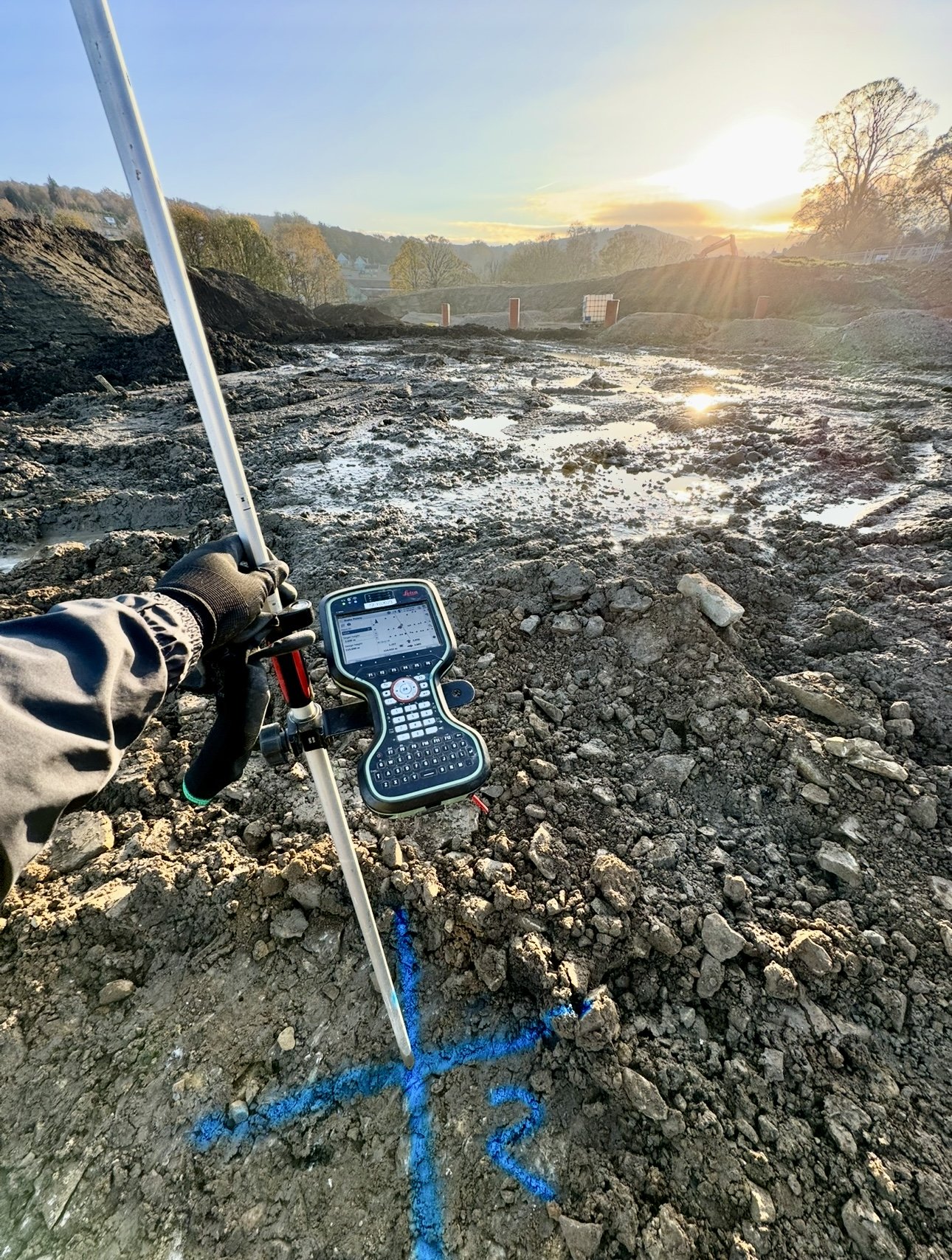
We utilise the highest spec Leica GNSS RTK and total station robotics to produce surveys at any stage of the construction process. Whether it's an empty field or a fully completed project hub, we provide:
As-Built Surveys: Of concrete slabs, manhole positions, pipe inverts, concrete beams, existing dwellings, boundary fences, and much more.
Volumetric Surveys: Of stockpiles, excavations, and elevations between two surfaces, all processed through Civils 3D to generate reports in PDF/DWG and DXF formats for clients.
Site Control Assessment: Used on existing sites and new developments to ensure maximum efficiency and accuracy throughout the job cycle.
Topographical Surveys: Providing detailed and accurate representations of the site's physical features, including boundaries, existing dwellings, contours, overhead cables, elevations, utilities, existing drainage and highways, allowing clients to plan effectively for future projects..
-
We leverage advanced modeling technologies to provide comprehensive and precise digital representations of construction projects. Our services ensure that every aspect of your construction project is accurately represented and meticulously planned, leading to efficient execution and successful outcomes. We specialise in:
3D Modeling: Using software like Civils 3D, we create detailed 3D models of construction sites, including terrain, structures, and utilities. These models help in visualising the project and planning construction phases effectively.
BIM (Building Information Modeling): We integrate BIM processes to enhance collaboration and coordination among project stakeholders. Our BIM services include creating and managing digital representations of physical and functional characteristics of construction projects.
Digital Twin: We develop digital twins of construction sites, which are virtual replicas that can be used for real-time monitoring, simulation, and analysis. This helps in optimising construction processes and improving decision-making.
Point Cloud Processing: Using laser scanning and photogrammetry, we generate point clouds that capture the exact dimensions and spatial relationships of a site. These point clouds are then processed into accurate 3D models.
GIS (Geographic Information Systems): We utilise GIS technology to analyse and visualise spatial data, providing valuable insights for site planning, environmental impact assessments, and infrastructure management.

About NORD Civils
NORD Civils is a trusted civil engineering company headquartered in West Yorkshire, specialising in site setting-out, surveying, and construction digitisation. While based in Yorkshire, we operate across the North of England and also undertake project work in Jersey.
Our team of fully qualified engineers utilises industry-leading surveying technology, including Leica TS16 robotic total stations and Leica GS18 GNSS systems, to deliver precise and reliable results from pre-construction through to completed as-built surveys.
We work across residential, industrial, and commercial sectors, providing clear, dependable data and technical support throughout the entire project lifecycle. At NORD Civils, we pride ourselves on delivering innovative surveying solutions and exceptional accuracy on every project, regardless of location.
Contact Us
Interested in working with us? Provide your details, and we'll get back to you shortly. We look forward to connecting with you.


